2014
SE6028 : Trans Pennine Trail utilises the former Burn airfield roads
taken 9 years ago, near to Burn, North Yorkshire, England
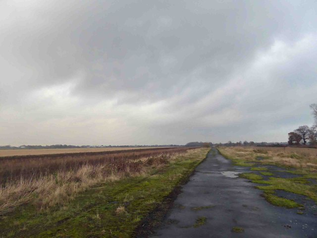
Trans Pennine Trail utilises the former Burn airfield roads
 Map © Crown Copyright")
TIP: Click the map for more Large scale mapping
- Grid Square
- SE6028, 22 images (more nearby 🔍)
- Photographer
- Steve Fareham (more nearby)
- Date Taken
- Saturday, 22 November, 2014 (more nearby)
- Submitted
- Tuesday, 25 November, 2014
- Subject Location
-
OSGB36:
 SE 6077 2820 [10m precision]
WGS84: 53:44.7984N 1:4.7998W - Camera Location
-
OSGB36: SE 60764 28128
- View Direction
- NORTH (about 0 degrees)