- Home
- View
- Interact
- Contributors
- General
Discussion on NO6952
Ordnance Survey grid square: NO 6952
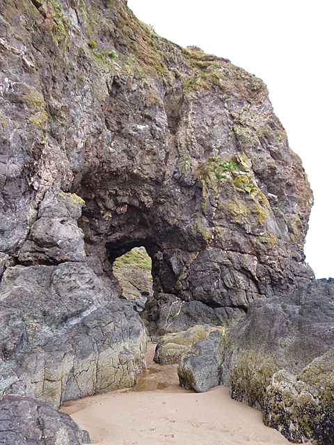
Due to the arable nature of the soil, land use in Ordnance Survey grid square NO 6952 is predominately agricultural. Approximately half of the coast is comprised of Lunan Bays golden sand while the other half presents a contrasting area of precipitous, volcanic cliffs and sea stacks. The area is very sparsely populated and there are few buildings. The area is served by third class and minor roads. Although the main east coast railway runs diagonally through the square in a southwest to northeast direction, there is no station. The varied track with cuttings, embankments and a viaduct spanning the ravine of Buckie Den combine to make it a scenic, rail journey.
2109 is the focal year of The International Year of the Salmon. Declining stocks of wild salmon, over a number of years, have resulted in the removal of the stake nets which were once used on the sandy expanses of Lunan Bay beach. Despite the local impact of removing them, most people would agree that it is vital to conserve fish numbers and, indeed, that not even the efforts of a single country can completely remedy the challenges that salmon face as they try to return to the rivers of their birth.
Both the precipitous cliffs and the tides combine to make the dramatic landscape of the northern part of Rickle Craig a difficult one to access. Should easier and safer access be provided so that people can enjoy this natural and unspoiled place with its eroded rocks, sea birds and unusual vegetation or is it preferable to leave access as it is at present and thus conserve the SSSI with minimal, human intervention?
Adrian L Diack, M.A.
 Map © Crown Copyright")
 NO 6967 5254 [10m precision]