2014
SX6672 : Holne Moor Leat
taken 9 years ago, near to Hexworthy, Devon, England
This is 1 of 2 images, with title Holne Moor Leat in this square
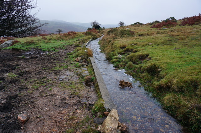
Holne Moor Leat
Seen here looking East, as it flows around the lower slopes of Combestone Tor.
 Map © Crown Copyright")
TIP: Click the map for more Large scale mapping
- Grid Square
- SX6672, 37 images (more nearby 🔍)
- Photographer
- jeff collins (more nearby)
- Date Taken
- Wednesday, 26 November, 2014 (more nearby)
- Submitted
- Thursday, 27 November, 2014
- Subject Location
-
OSGB36:
 SX 6687 7208 [10m precision]
WGS84: 50:31.9982N 3:52.7908W - Camera Location
-
OSGB36: SX 6685 7208
- View Direction
- EAST (about 90 degrees)