2014
SO6113 : Cannop Brook in Concrete Trough
taken 9 years ago, near to Edge End, Gloucestershire, England
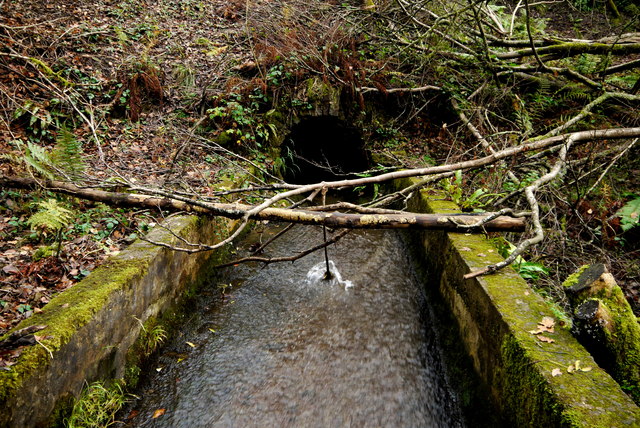
Cannop Brook in Concrete Trough
The brook is constrained by a concrete channel to prevent leakage into mine workings below. This is looking upstream where the brook emerges into the trough from the hillside. See SO6113 : Concrete Trough of the Cannop Brook
 Map © Crown Copyright")
TIP: Click the map for more Large scale mapping
- Grid Square
- SO6113, 91 images (more nearby 🔍)
- Photographer
- Nigel Mykura (more nearby)
- Date Taken
- Thursday, 20 November, 2014 (more nearby)
- Submitted
- Monday, 1 December, 2014
- Subject Location
-
OSGB36:
 SO 6152 1313 [10m precision]
WGS84: 51:48.9280N 2:33.5770W - Camera Location
-
OSGB36: SO 6149 1313
- View Direction
- EAST (about 90 degrees)