2008
SE4420 : Fields near Pontefract
taken 16 years ago, near to Purston Jaglin, Wakefield, England
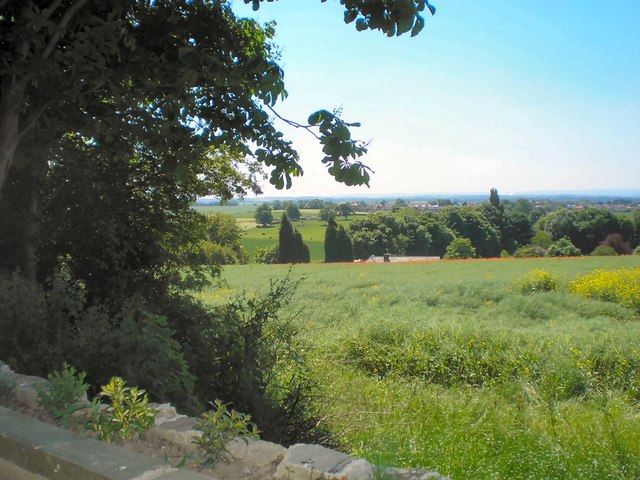
Fields near Pontefract
 Map © Crown Copyright")
TIP: Click the map for more Large scale mapping
- Grid Square
- SE4420, 21 images (more nearby 🔍)
- Photographer
- Gerald England (more nearby)
- Date Taken
- Monday, 9 June, 2008 (more nearby)
- Submitted
- Thursday, 4 December, 2014
- Subject Location
-
OSGB36:
 SE 4430 2097 [10m precision]
WGS84: 53:40.9991N 1:19.8449W - Camera Location
-
OSGB36: SE 4431 2099
- View Direction
- South-southwest (about 202 degrees)