2005
NT2489 : Farmland, Kilrie
taken 19 years ago, 3 km from Auchtertool, Fife, Scotland
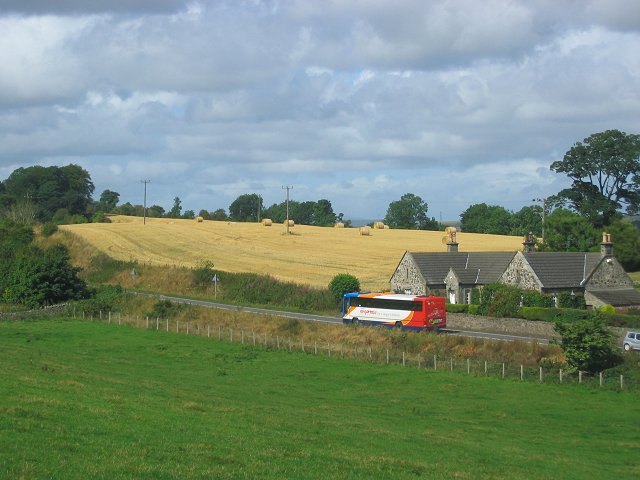
Farmland, Kilrie
A mix of farmland around the crossroads at Kilrie Gate. "Gate" as in barrier here, one of the roads leads towards a big house, Kilrie. Bus leaving Kirkcaldy, probably bound for Dunfirmline.
 Map © Crown Copyright")
TIP: Click the map for more Large scale mapping
- Grid Square
- NT2489, 10 images (more nearby 🔍)
- Photographer
- Richard Webb (more nearby)
- Date Taken
- Wednesday, 24 August, 2005 (more nearby)
- Submitted
- Thursday, 25 August, 2005
- Subject Location
-
OSGB36:
 NT 244 893 [100m precision]
WGS84: 56:5.4294N 3:12.9951W