2014
NT3444 : Moorfoot Hills
taken 9 years ago, 4 km S of Dewar, Scottish Borders, Scotland
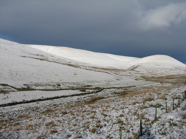
Moorfoot Hills
Middle Burn, leading round and up left to Middle Hill. To the right is Wee Hill.
 Map © Crown Copyright")
TIP: Click the map for more Large scale mapping
- Grid Square
- NT3444, 30 images (more nearby 🔍)
- Photographer
- M J Richardson (more nearby)
- Date Taken
- Monday, 8 December, 2014 (more nearby)
- Submitted
- Thursday, 11 December, 2014
- Subject Location
-
OSGB36:
 NT 3443 4493 [10m precision]
WGS84: 55:41.6030N 3:2.6793W - Camera Location
-
OSGB36: NT 3450 4476
- View Direction
- North-northwest (about 337 degrees)