2014
SJ9170 : Macclesfield Canal north of Oakgrove, Cheshire
taken 10 years ago, near to Oakgrove, Cheshire East, England
This is 1 of 8 images, with title starting with Macclesfield Canal in this square
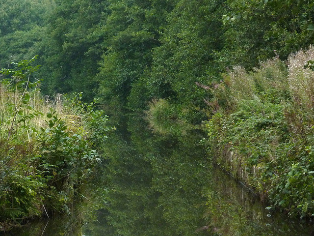
Macclesfield Canal north of Oakgrove, Cheshire
The narrowing of the canal here to about three metres is at the site of the former Woodhouse Green Swing Bridge, No 48, at the southern end of Rayswood.
 Map © Crown Copyright")
TIP: Click the map for more Large scale mapping
- Grid Square
- SJ9170, 39 images (more nearby 🔍)
- Photographer
- Roger D Kidd (more nearby)
- Date Taken
- Thursday, 4 September, 2014 (more nearby)
- Submitted
- Thursday, 11 December, 2014
- Subject Location
-
OSGB36:
 SJ 9148 7013 [10m precision]
WGS84: 53:13.6885N 2:7.7450W - Camera Location
-
OSGB36: SJ 9149 7010
- View Direction
- North-northwest (about 337 degrees)