2014
SD8444 : Gisburn Road on Crag Clough
taken 10 years ago, near to Greystone, Lancashire, England
This is 1 of 2 images, with title Gisburn Road on Crag Clough in this square
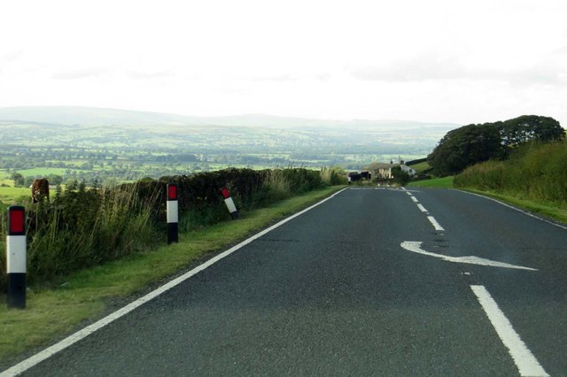
Gisburn Road on Crag Clough
The A682 runs from Rawtenstall to Long Preston.
 Map © Crown Copyright")
TIP: Click the map for more Large scale mapping
- Grid Square
- SD8444, 10 images (more nearby 🔍)
- Photographer
- Steve Daniels (more nearby)
- Date Taken
- Thursday, 28 August, 2014 (more nearby)
- Submitted
- Friday, 12 December, 2014
- Subject Location
-
OSGB36:
 SD 8474 4458 [10m precision]
WGS84: 53:53.8298N 2:14.0225W - Camera Location
-
OSGB36: SD 8477 4455
- View Direction
- Northwest (about 315 degrees)