2007
NU1213 : Farmland
taken 17 years ago, near to Abberwick, Northumberland, England
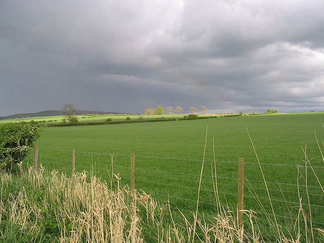
Farmland
Rich farmland to the northwest of Abberwick.
 Map © Crown Copyright")
TIP: Click the map for more Large scale mapping
- Grid Square
- NU1213, 13 images (more nearby 🔍)
- Photographer
- Walter Baxter (more nearby)
- Date Taken
- Tuesday, 8 May, 2007 (more nearby)
- Submitted
- Wednesday, 9 May, 2007
- Subject Location
-
OSGB36:
 NU 1230 1370 [10m precision]
WGS84: 55:25.0239N 1:48.4353W - Camera Location
-
OSGB36: NU 1215 1378
- View Direction
- East-southeast (about 112 degrees)