2013
TF6726 : National Cycle Network 1 near Babingley
taken 11 years ago, near to Castle Rising, Norfolk, England
This is 1 of 2 images, with title starting with National Cycle Network 1 in this square
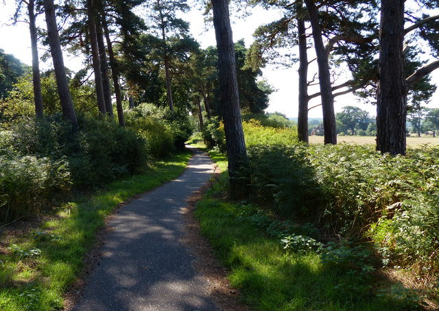
National Cycle Network 1 near Babingley
The path and cycleway is heading south alongside the A149 Queen Elizabeth Way.
 Map © Crown Copyright")
TIP: Click the map for more Large scale mapping
- Grid Square
- TF6726, 68 images (more nearby 🔍)
- Photographer
- Mat Fascione (more nearby)
- Date Taken
- Monday, 26 August, 2013 (more nearby)
- Submitted
- Friday, 12 December, 2014
- Subject Location
-
OSGB36:
 TF 674 265 [100m precision]
WGS84: 52:48.6506N 0:29.0152E - Camera Location
-
OSGB36: TF 674 265
- View Direction
- South-southeast (about 157 degrees)