2014
J2744 : View along the Legananny Road towards the col between Slievenaboley and Cratlieve Mountains
taken 10 years ago, 4 km S of Finnis, Co Down, Northern Ireland
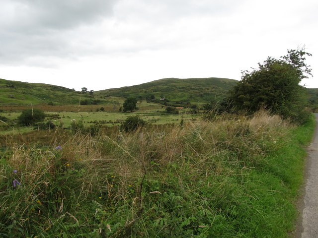
View along the Legananny Road towards the col between Slievenaboley and Cratlieve Mountains
Loading map... (JavaScript required)
- Grid Square
- J2744, 7 images (more nearby 🔍)
- Photographer
- Eric Jones (more nearby)
- Date Taken
- Friday, 15 August, 2014 (more nearby)
- Submitted
- Saturday, 13 December, 2014
- Subject Location
-
Irish:
 J 279 441 [100m precision]
WGS84: 54:19.8079N 6:2.0352W - Camera Location
-
Irish: J 286 437
- View Direction
- West-northwest (about 292 degrees)