2014
TL5991 : Black Horse Drove
taken 9 years ago, near to Black Horse Drove, Cambridgeshire, England
This is 1 of 3 images, with title Black Horse Drove in this square
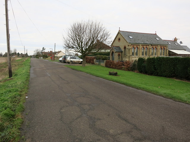
Black Horse Drove
A converted chapel in this linear village along the eponymous drove.
 Map © Crown Copyright")
TIP: Click the map for more Large scale mapping
- Grid Square
- TL5991, 9 images (more nearby 🔍)
- Photographer
- Hugh Venables (more nearby)
- Date Taken
- Sunday, 14 December, 2014 (more nearby)
- Submitted
- Sunday, 14 December, 2014
- Subject Location
-
OSGB36:
 TL 5985 9139 [10m precision]
WGS84: 52:29.8195N 0:21.1977E - Camera Location
-
OSGB36: TL 59865 91366
- View Direction
- North-northwest (about 337 degrees)