2014
SZ6197 : The end of the shore path
taken 9 years ago, near to Alverstoke, Hampshire, England
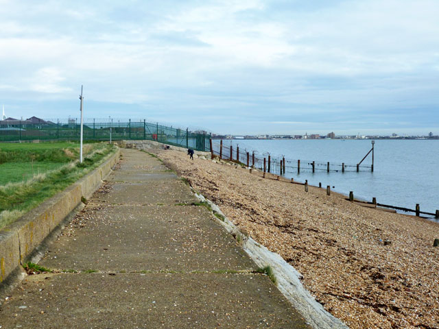
The end of the shore path
Further progress along the beach is barred by the heavily defended Fort Monckton.
 Map © Crown Copyright")
TIP: Click the map for more Large scale mapping
- Grid Square
- SZ6197, 26 images (more nearby 🔍)
- Photographer
- Robin Webster (more nearby)
- Date Taken
- Monday, 15 December, 2014 (more nearby)
- Submitted
- Monday, 15 December, 2014
- Subject Location
-
OSGB36:
 SZ 6108 9765 [10m precision]
WGS84: 50:46.5134N 1:8.1061W - Camera Location
-
OSGB36: SZ 61010 97591
- View Direction
- Northeast (about 45 degrees)