1968
SX1252 : Bodinnick Ferry. 1968
taken 56 years ago, near to Fowey, Cornwall, England
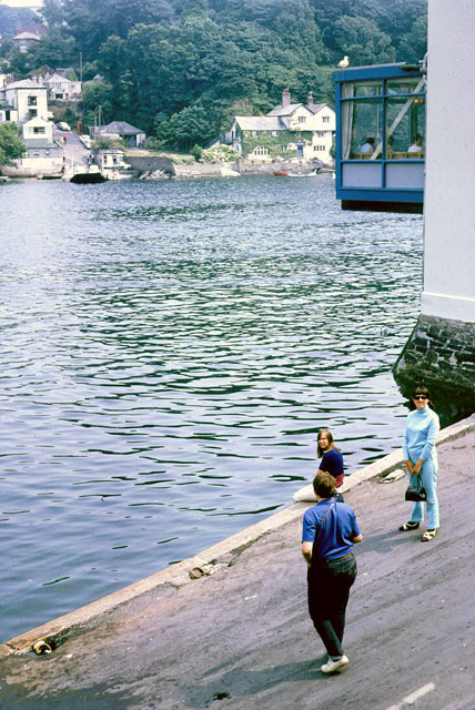
Bodinnick Ferry. 1968
A view from above the ferry slip on the Fowey side. This was the shortest crossing, at the expense of awkward traffic problems on the Fowey side. A new ferry slip was later built upstream at a more suitable point, but the far side remains as was.
 Map © Crown Copyright")
TIP: Click the map for more Large scale mapping
- Grid Square
- SX1252, 163 images (more nearby 🔍)
- Photographer
- Robin Webster (more nearby)
- Date Taken
- August 1968 (more nearby)
- Submitted
- Wednesday, 17 December, 2014
- Subject Location
-
OSGB36:
 SX 1292 5216 [10m precision]
WGS84: 50:20.3748N 4:37.8248W - Camera Location
-
OSGB36: SX 12750 52171
- View Direction
- EAST (about 90 degrees)