2014
J2741 : Carney Hill from Lighthouse Road, Ballyward
taken 10 years ago, 3 km from Ballyward, Co Down, Northern Ireland
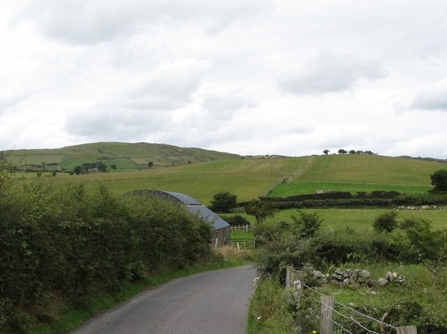
Carney Hill from Lighthouse Road, Ballyward
Carney Hill is a large drumlin. Behind it is Slievenaboley Mountain - part of the Slieve Croob or Dromara range of hills.
Loading map... (JavaScript required)
- Grid Square
- J2741, 27 images (more nearby 🔍)
- Photographer
- Eric Jones (more nearby)
- Date Taken
- Friday, 15 August, 2014 (more nearby)
- Submitted
- Saturday, 20 December, 2014
- Subject Location
-
Irish:
 J 278 411 [100m precision]
WGS84: 54:18.1827N 6:2.2141W - Camera Location
-
Irish: J 279 409
- View Direction
- North-northwest (about 337 degrees)