2014
SJ8050 : Audley: north end of footpath Audley 36
taken 9 years ago, near to Audley, Staffordshire, England
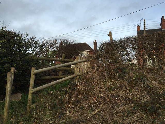
Audley: north end of footpath Audley 36
This footpath runs between Wereton Road, south of Audley village, and Ryehills, a stretch of road between Audley and Miles Green, where the path is here seen emerging. Having become overgrown and difficult of access, the stiles at both ends of the path were replaced and vegetation cleared in 2014.
 Map © Crown Copyright")
TIP: Click the map for more Large scale mapping
- Grid Square
- SJ8050, 102 images (more nearby 🔍)
- Photographer
- Jonathan Hutchins (more nearby)
- Date Taken
- Sunday, 21 December, 2014 (more nearby)
- Submitted
- Sunday, 21 December, 2014
- Subject Location
-
OSGB36:
 SJ 8001 5011 [10m precision]
WGS84: 53:2.8725N 2:17.9784W - Camera Location
-
OSGB36: SJ 8001 5011
- View Direction
- North-northeast (about 22 degrees)