2014
SJ9979 : Flatts Lane, Kettleshulme
taken 9 years ago, near to Kettleshulme, Cheshire East, England
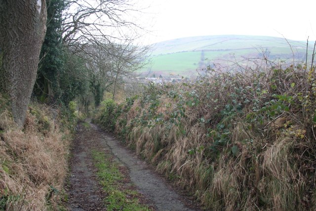
Flatts Lane, Kettleshulme
A stiff climb out of the village, passing a number of farms (not a public road, but marked as a right of way on the OS map).
 Map © Crown Copyright")
TIP: Click the map for more Large scale mapping
- Grid Square
- SJ9979, 16 images (more nearby 🔍)
- Photographer
- Dave Dunford (more nearby)
- Date Taken
- Sunday, 16 November, 2014 (more nearby)
- Submitted
- Friday, 26 December, 2014
- Subject Location
-
OSGB36:
 SJ 9909 7983 [10m precision]
WGS84: 53:18.9241N 2:0.9072W - Camera Location
-
OSGB36: SJ 9911 7984
- View Direction
- West-southwest (about 247 degrees)