2014
SU9157 : Pine woods, Porridgepot Hill
taken 9 years ago, near to Deepcut, Surrey, England
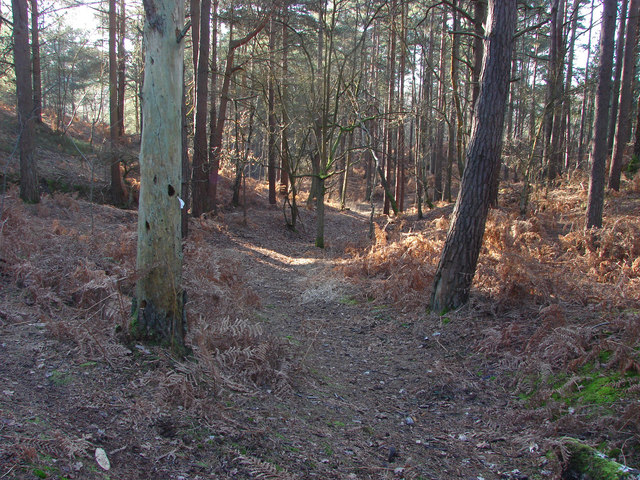
Pine woods, Porridgepot Hill
The dense pine woods that shroud Porridgepot Hill, a military training area between the deepcut and Pirbright camps.
 Map © Crown Copyright")
TIP: Click the map for more Large scale mapping
- Grid Square
- SU9157, 17 images (more nearby 🔍)
- Photographer
- Alan Hunt (more nearby)
- Date Taken
- Sunday, 28 December, 2014 (more nearby)
- Submitted
- Tuesday, 30 December, 2014
- Subject Location
-
OSGB36:
 SU 9143 5726 [10m precision]
WGS84: 51:18.4275N 0:41.3841W - Camera Location
-
OSGB36: SU 9145 5728
- View Direction
- Southwest (about 225 degrees)