2010
NY7446 : The A689. Alston
taken 14 years ago, near to Nenthall, Cumbria, England
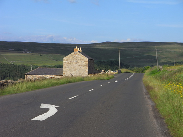
The A689. Alston
The road to Nenthead and Weardale passing Watergreens.
 Map © Crown Copyright")
TIP: Click the map for more Large scale mapping
- Grid Square
- NY7446, 24 images (more nearby 🔍)
- Photographer
- Andrew Smith (more nearby)
- Date Taken
- Tuesday, 29 June, 2010 (more nearby)
- Submitted
- Thursday, 1 January, 2015
- Subject Location
-
OSGB36:
 NY 7417 4628 [10m precision]
WGS84: 54:48.6426N 2:24.2050W - Camera Location
-
OSGB36: NY 7411 4628
- View Direction
- EAST (about 90 degrees)