2014
NS4810 : Forest track near Greengate Rig
taken 9 years ago, 4 km NNW of Clawfin, East Ayrshire, Scotland
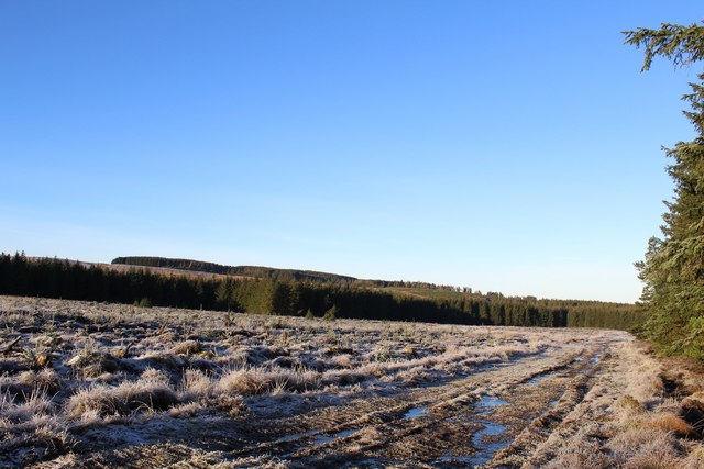
Forest track near Greengate Rig
 Map © Crown Copyright")
TIP: Click the map for more Large scale mapping
- Grid Square
- NS4810, 3 images (more nearby 🔍)
- Photographer
- Leslie Barrie (more nearby)
- Date Taken
- Sunday, 28 December, 2014 (more nearby)
- Submitted
- Friday, 2 January, 2015
- Subject Location
-
OSGB36:
 NS 4866 1062 [10m precision]
WGS84: 55:21.9711N 4:23.3621W - Camera Location
-
OSGB36: NS 4869 1062
- View Direction
- West-southwest (about 247 degrees)