2015
TG3602 : The Wherryman's Way to Langley Dyke
taken 9 years ago, near to Langley Street, Norfolk, England
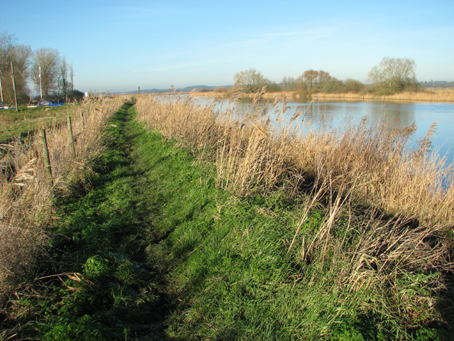
The Wherryman's Way to Langley Dyke
 Map © Crown Copyright")
TIP: Click the map for more Large scale mapping
- Grid Square
- TG3602, 131 images (more nearby 🔍)
- Photographer
- Evelyn Simak (more nearby)
- Date Taken
- Sunday, 4 January, 2015 (more nearby)
- Submitted
- Sunday, 4 January, 2015
- Subject Location
-
OSGB36:
 TG 3692 0290 [10m precision]
WGS84: 52:34.3368N 1:29.6931E - Camera Location
-
OSGB36: TG 3697 0283
- View Direction
- Northwest (about 315 degrees)