1995
NT5205 : Walking on the former Waverley Line trackbed at Shankend
taken 29 years ago, near to Lang Burn [water Feature], Scottish Borders, Great Britain
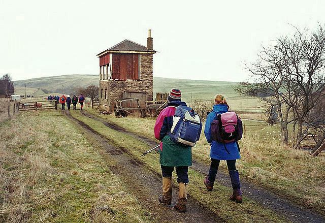
Walking on the former Waverley Line trackbed at Shankend
The signal box has been converted into a dwelling house - see NT5205 : House at the side of the track.
 Map © Crown Copyright")
TIP: Click the map for more Large scale mapping
- Grid Square
- NT5205, 41 images (more nearby 🔍)
- Photographer
- Walter Baxter (more nearby)
- Date Taken
- Sunday, 19 February, 1995 (more nearby)
- Submitted
- Monday, 5 January, 2015
- Subject Location
-
OSGB36:
 NT 5253 0554 [10m precision]
WGS84: 55:20.4955N 2:44.9994W - Camera Location
-
OSGB36: NT 5254 0553
- View Direction
- Northwest (about 315 degrees)