2014
SU4851 : Farm track south of Whitnal
taken 9 years ago, near to Laverstoke, Hampshire, England
This is 1 of 5 images, with title Farm track south of Whitnal in this square
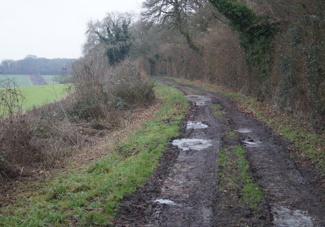
Farm track south of Whitnal
 Map © Crown Copyright")
TIP: Click the map for more Large scale mapping
- Grid Square
- SU4851, 37 images (more nearby 🔍)
- Photographer
- Mr Ignavy (more nearby)
- Date Taken
- Wednesday, 31 December, 2014 (more nearby)
- Submitted
- Sunday, 11 January, 2015
- Subject Location
-
OSGB36:
 SU 4893 5109 [10m precision]
WGS84: 51:15.4129N 1:18.0126W - Camera Location
-
OSGB36: SU 4893 5114
- View Direction
- SOUTH (about 180 degrees)