2015
SO8154 : St Thomas - Crown East
taken 9 years ago, near to Rushwick, Worcestershire, England
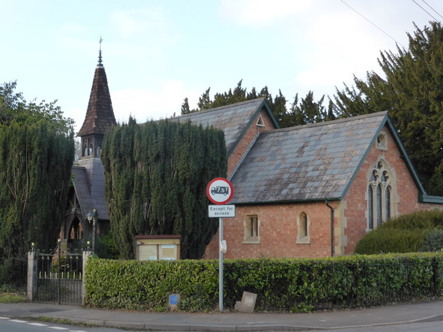
St Thomas - Crown East
Shown on the 1:50,000 map as a chapel although there is a short spire. The style looks arts & crafts to me, especially from the other end.
 Map © Crown Copyright")
TIP: Click the map for more Large scale mapping
- Grid Square
- SO8154, 32 images (more nearby 🔍)
- Photographer
- Chris Allen (more nearby)
- Date Taken
- Saturday, 10 January, 2015 (more nearby)
- Submitted
- Sunday, 11 January, 2015
- Subject Location
-
OSGB36:
 SO 8129 5470 [10m precision]
WGS84: 52:11.4132N 2:16.5067W - Camera Location
-
OSGB36: SO 8131 5467
- View Direction
- Northwest (about 315 degrees)