2015
ST7276 : The Kings Highway, near Dyrham Park
taken 9 years ago, near to Hinton, South Gloucestershire, England
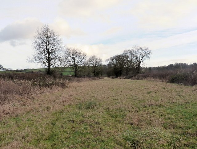
The Kings Highway, near Dyrham Park
The old coach road between Bristol to London? The story is that this used to go past the Talbot Farm, the cottages adjacent were then called the Cock Inn. A cock horse was stabled there to help coaches up to the top of Hinton Hill (Iron Age fort).The lane is still called Cock Lane! The route is better seen from the north of Dyrham Park (National Trust) looking across.
 Map © Crown Copyright")
TIP: Click the map for more Large scale mapping
- Grid Square
- ST7276, 11 images (more nearby 🔍)
- Photographer
- Rick Crowley (more nearby)
- Date Taken
- Saturday, 10 January, 2015 (more nearby)
- Submitted
- Monday, 12 January, 2015
- Subject Location
-
OSGB36:
 ST 7288 7606 [10m precision]
WGS84: 51:28.9703N 2:23.5164W - Camera Location
-
OSGB36: ST 7278 7606
- View Direction
- EAST (about 90 degrees)