2015
SX5163 : Towards Lower Upperton
taken 9 years ago, near to Roborough, Devon, England
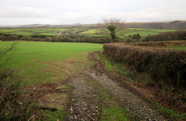
Towards Lower Upperton
This is a winter version of the view shown in SX5163 : End of the harvest, looking towards the valley of a tributary of the Plym.
 Map © Crown Copyright")
TIP: Click the map for more Large scale mapping
- Grid Square
- SX5163, 9 images (more nearby 🔍)
- Photographer
- Derek Harper (more nearby)
- Date Taken
- Saturday, 17 January, 2015 (more nearby)
- Submitted
- Sunday, 18 January, 2015
- Subject Location
-
OSGB36:
 SX 5111 6333 [10m precision]
WGS84: 50:27.0519N 4:5.9150W - Camera Location
-
OSGB36: SX 5108 6331
- View Direction
- East-northeast (about 67 degrees)