2015
SJ4565 : Rake Lane, between Brown Heath and Christleton
taken 9 years ago, near to Christleton, Cheshire West And Chester, England
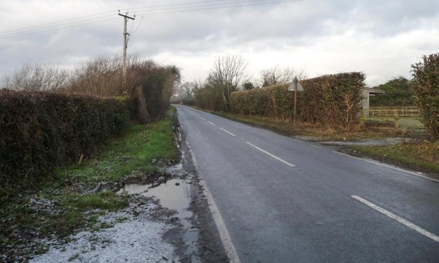
Rake Lane, between Brown Heath and Christleton
Heading north from a 34 metre spot height.
 Map © Crown Copyright")
TIP: Click the map for more Large scale mapping
- Grid Square
- SJ4565, 15 images (more nearby 🔍)
- Photographer
- Christine Johnstone (more nearby)
- Date Taken
- Sunday, 18 January, 2015 (more nearby)
- Submitted
- Saturday, 24 January, 2015
- Subject Location
-
OSGB36:
 SJ 4532 6529 [10m precision]
WGS84: 53:10.9131N 2:49.1796W - Camera Location
-
OSGB36: SJ 4533 6527
- View Direction
- North-northwest (about 337 degrees)