2014
TQ8667 : River Medway at Lower Halstow
taken 10 years ago, near to Lower Halstow, Kent, England
This is 1 of 3 images, with title River Medway at Lower Halstow in this square
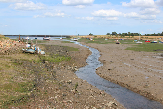
River Medway at Lower Halstow
The 70 mile long river starts at Turners Hill, at the West Sussex border, and through Kent to meet the Thames Estuary. It travels through many major towns, including Tonbridge, Maidstone, Strood and Rochester. The river has many locks from Tonbridge to Allington, where the river becomes tidal. Boats can navigate the river up to Tonbridge. At Yalding there is a short diversion along the Hampstead Road Canal, whilst the river goes over sluices and below the Twyford Bridge.
After floods devastated Tonbridge in 1968 a substantial flood barrier was built in 1981 on the Medway at nearby Leigh, to protect the town.
Read more at wikipedia Link
See other images of River Medway
After floods devastated Tonbridge in 1968 a substantial flood barrier was built in 1981 on the Medway at nearby Leigh, to protect the town.
Read more at wikipedia Link
See other images of River Medway
 Map © Crown Copyright")
TIP: Click the map for more Large scale mapping
- Grid Square
- TQ8667, 81 images (more nearby 🔍)
- Photographer
- Oast House Archive (more nearby)
- Date Taken
- Sunday, 3 August, 2014 (more nearby)
- Submitted
- Saturday, 24 January, 2015
- Subject Location
-
OSGB36:
 TQ 860 675 [100m precision]
WGS84: 51:22.5912N 0:40.2952E - Camera Location
-
OSGB36: TQ 859 674
- View Direction
- Northeast (about 45 degrees)