2014
SN7359 : Forestry road on Esgair Fawr, Ceredigion
taken 10 years ago, near to Castell Rhyfel [antiquity (non-Roman)], Ceredigion, Great Britain
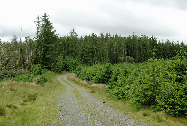
Forestry road on Esgair Fawr, Ceredigion
Part of the Berwyn Plantation, which has been extensively felled and replanted in recent years.
 Map © Crown Copyright")
TIP: Click the map for more Large scale mapping
- Grid Square
- SN7359, 20 images (more nearby 🔍)
- Photographer
- Roger D Kidd (more nearby)
- Date Taken
- Tuesday, 10 June, 2014 (more nearby)
- Submitted
- Saturday, 24 January, 2015
- Subject Location
-
OSGB36:
 SN 7384 5912 [10m precision]
WGS84: 52:12.9483N 3:50.8830W - Camera Location
-
OSGB36: SN 7374 5914
- View Direction
- East-southeast (about 112 degrees)