2015
NT4362 : Ford, Costerton Water
taken 9 years ago, near to Fala Dam, Midlothian, Scotland
This is 1 of 2 images, with title Ford, Costerton Water in this square
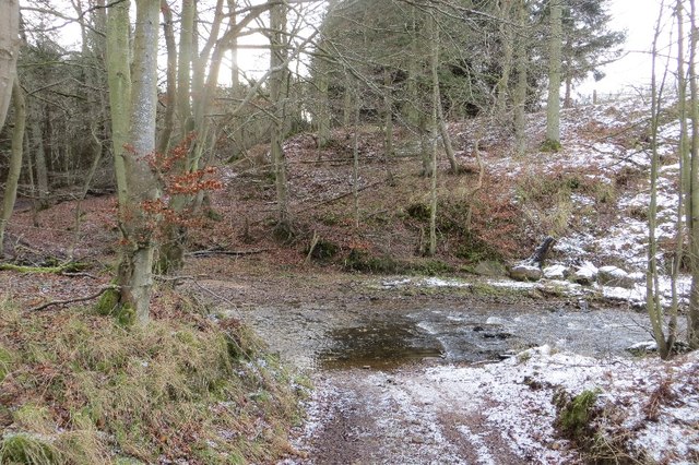
Ford, Costerton Water
A ford on the green lane between Costerton and Humbie.
 Map © Crown Copyright")
TIP: Click the map for more Large scale mapping
- Grid Square
- NT4362, 24 images (more nearby 🔍)
- Photographer
- Richard Webb (more nearby)
- Date Taken
- Sunday, 18 January, 2015 (more nearby)
- Submitted
- Sunday, 25 January, 2015
- Subject Location
-
OSGB36:
 NT 4370 6271 [10m precision]
WGS84: 55:51.2570N 2:54.0532W - Camera Location
-
OSGB36: NT 4372 6273
- View Direction
- West-southwest (about 247 degrees)