2013
TQ0481 : Part of Farlows Lake
taken 11 years ago, near to Iver, Buckinghamshire, England
This is 1 of 3 images, with title Part of Farlows Lake in this square
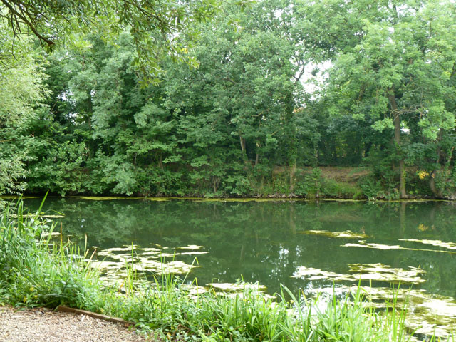
Part of Farlows Lake
The extreme northern corner of the large lake, formerly gravel workings, now used for fishing.
 Map © Crown Copyright")
TIP: Click the map for more Large scale mapping
- Grid Square
- TQ0481, 130 images (more nearby 🔍)
- Photographer
- Robin Webster (more nearby)
- Date Taken
- Sunday, 21 July, 2013 (more nearby)
- Submitted
- Tuesday, 27 January, 2015
- Subject Location
-
OSGB36:
 TQ 0431 8125 [10m precision]
WGS84: 51:31.2328N 0:29.8783W - Camera Location
-
OSGB36: TQ 04302 81244
- View Direction
- Northeast (about 45 degrees)