2008
TQ1792 : Covered area at Stanmore Station platform
taken 16 years ago, near to Stanmore, Harrow, England
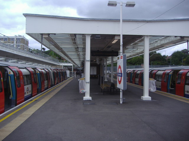
Covered area at Stanmore Station platform
 Map © Crown Copyright")
TIP: Click the map for more Large scale mapping
- Grid Square
- TQ1792, 120 images (more nearby 🔍)
- Photographer
- David Howard (more nearby)
- Date Taken
- Wednesday, 16 July, 2008 (more nearby)
- Submitted
- Wednesday, 28 January, 2015
- Subject Location
-
OSGB36:
 TQ 1758 9253 [10m precision]
WGS84: 51:37.1593N 0:18.1815W - Camera Location
-
OSGB36: TQ 1759 9251
- View Direction
- North-northwest (about 337 degrees)