2014
SP7485 : Crop field east of National Cycle Route 6
taken 10 years ago, near to Little Bowden, Leicestershire, England
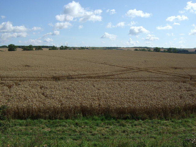
Crop field east of National Cycle Route 6
 Map © Crown Copyright")
TIP: Click the map for more Large scale mapping
- Grid Square
- SP7485, 29 images (more nearby 🔍)
- Photographer
- JThomas (more nearby)
- Date Taken
- Saturday, 9 August, 2014 (more nearby)
- Submitted
- Friday, 30 January, 2015
- Subject Location
-
OSGB36:
 SP 745 857 [100m precision]
WGS84: 52:27.8551N 0:54.2384W - Camera Location
-
OSGB36: SP 744 856
- View Direction
- East-northeast (about 67 degrees)