2015
ST6598 : Berkeley power station
taken 9 years ago, near to Bevington, Gloucestershire, England
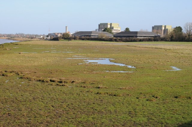
Berkeley power station
Berkeley power station viewed from the south-west on the Severn Way long distance footpath.
 Map © Crown Copyright")
TIP: Click the map for more Large scale mapping
- Grid Square
- ST6598, 14 images (more nearby 🔍)
- Photographer
- Philip Halling (more nearby)
- Date Taken
- Saturday, 24 January, 2015 (more nearby)
- Submitted
- Friday, 30 January, 2015
- Subject Location
-
OSGB36:
 ST 6528 9893 [10m precision]
WGS84: 51:41.2827N 2:30.2191W - Camera Location
-
OSGB36: ST 6510 9881
- View Direction
- East-northeast (about 67 degrees)