2014
TF1607 : Winter sunset over Mile Drove near Peakirk
taken 9 years ago, near to Peakirk, Peterborough, England
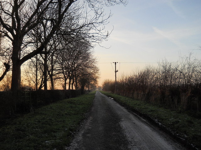
Winter sunset over Mile Drove near Peakirk
A view westwards along Mile Drove from the junction with Deeping Road to the north of Peakirk. Unsurprisingly, the road's name is derived from the fact that it is approximately one mile in length.
 Map © Crown Copyright")
TIP: Click the map for more Large scale mapping
- Grid Square
- TF1607, 27 images (more nearby 🔍)
- Photographer
- Paul Bryan (more nearby)
- Date Taken
- Monday, 29 December, 2014 (more nearby)
- Submitted
- Sunday, 1 February, 2015
- Subject Location
-
OSGB36:
 TF 1659 0717 [10m precision]
WGS84: 52:38.9845N 0:16.6827W - Camera Location
-
OSGB36: TF 1664 0718
- View Direction
- West-southwest (about 247 degrees)