2015
SX2257 : Track past Gilhill Wood
taken 9 years ago, near to Muchlarnick, Cornwall, England
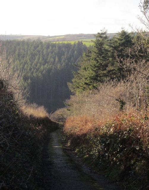
Track past Gilhill Wood
The scene in SX2257 : Track alongside Gillhill Wood, seven and a half years on. The route with public access drops into the West Looe valley. Coldrinnick Wood is on the far side.
 Map © Crown Copyright")
TIP: Click the map for more Large scale mapping
- Grid Square
- SX2257, 8 images (more nearby 🔍)
- Photographer
- Derek Harper (more nearby)
- Date Taken
- Wednesday, 4 February, 2015 (more nearby)
- Submitted
- Tuesday, 10 February, 2015
- Subject Location
-
OSGB36:
 SX 2235 5750 [10m precision]
WGS84: 50:23.4287N 4:30.0331W - Camera Location
-
OSGB36: SX 2246 5750
- View Direction
- WEST (about 270 degrees)