2015
SO8447 : Farmland track near Baynhall
taken 9 years ago, near to Clifton, Worcestershire, England
This is 1 of 2 images, with title Farmland track near Baynhall in this square
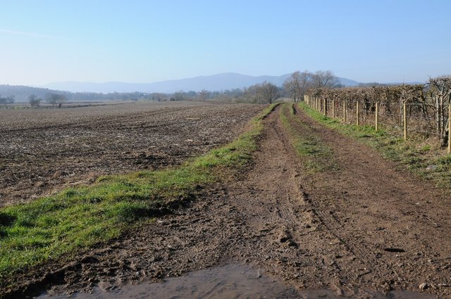
Farmland track near Baynhall
Farmland track and arable land near Baynhall. The Malvern Hills are on the horizon.
 Map © Crown Copyright")
TIP: Click the map for more Large scale mapping
- Grid Square
- SO8447, 46 images (more nearby 🔍)
- Photographer
- Philip Halling (more nearby)
- Date Taken
- Sunday, 8 February, 2015 (more nearby)
- Submitted
- Thursday, 12 February, 2015
- Subject Location
-
OSGB36:
 SO 8480 4742 [10m precision]
WGS84: 52:7.4927N 2:13.4063W - Camera Location
-
OSGB36: SO 8489 4743
- View Direction
- WEST (about 270 degrees)