2015
SD8101 : Lower Kersal
taken 9 years ago, near to Pendlebury, Salford, England
This is 1 of 2 images, with title Lower Kersal in this square
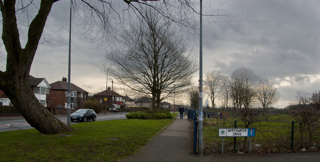
Lower Kersal
 Map © Crown Copyright")
TIP: Click the map for more Large scale mapping
- Grid Square
- SD8101, 74 images (more nearby 🔍)
- Photographer
- Ian Greig (more nearby)
- Date Taken
- Friday, 13 February, 2015 (more nearby)
- Submitted
- Friday, 13 February, 2015
- Subject Location
-
OSGB36:
 SD 8113 0147 [10m precision]
WGS84: 53:30.5743N 2:17.1601W - Camera Location
-
OSGB36: SD 81054 01562
- View Direction
- Southeast (about 135 degrees)