2015
TQ2480 : Holland Park: Clarendon Road
taken 9 years ago, near to Kensington, Kensington And Chelsea, England
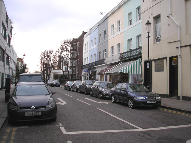
Holland Park: Clarendon Road
Looking north from its junction with Holland Park Avenue
 Map © Crown Copyright")
TIP: Click the map for more Large scale mapping
- Grid Square
- TQ2480, 394 images (more nearby 🔍)
- Photographer
- Dr Neil Clifton (more nearby)
- Date Taken
- Tuesday, 10 February, 2015 (more nearby)
- Submitted
- Sunday, 15 February, 2015
- Subject Location
-
OSGB36:
 TQ 2451 8023 [10m precision]
WGS84: 51:30.4376N 0:12.4398W - Camera Location
-
OSGB36: TQ 2454 8018
- View Direction
- Northwest (about 315 degrees)