2015
NS4861 : Field at Stoney Brae
taken 9 years ago, near to Glenburn, Renfrewshire, Scotland
Field at Stoney Brae
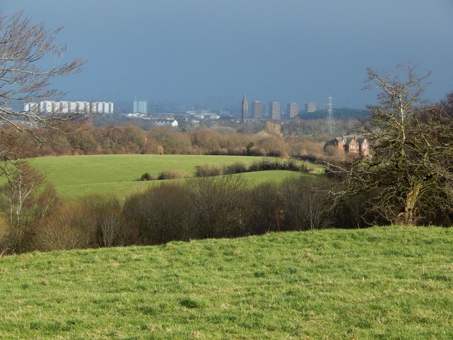
The picture was taken from the edge of the field (NS4861 : Edge of field at Stoney Brae), just off a path called Stoney Brae; see Link for that path.
A house called NS4861 : Thorscrag can be seen in the middle distance, on the right.
Much further away, a little right of centre, is the distinctive water tower of the former Leverndale Hospital, 3.4 km away: NS5162 : Former Hawkhead Asylum, Glasgow / NS5162 : Leverndale Hospital / NS5162 : Former Leverndale Hospital Water Tower.
 Map © Crown Copyright")
TIP: Click the map for more Large scale mapping
- Grid Square
- NS4861, 46 images (more nearby 🔍)
- Photographer
- Lairich Rig (more nearby)
- Date Taken
- Monday, 26 January, 2015 (more nearby)
- Submitted
- Sunday, 15 February, 2015
- Subject Location
-
OSGB36:
 NS 4855 6131 [10m precision]
WGS84: 55:49.2728N 4:25.1371W - Camera Location
-
OSGB36: NS 4852 6130
- View Direction
- East-northeast (about 67 degrees)