2015
SK5004 : Desford Lane on the edge of Kirby Muxloe
taken 9 years ago, near to Kirby Muxloe, Leicestershire, England
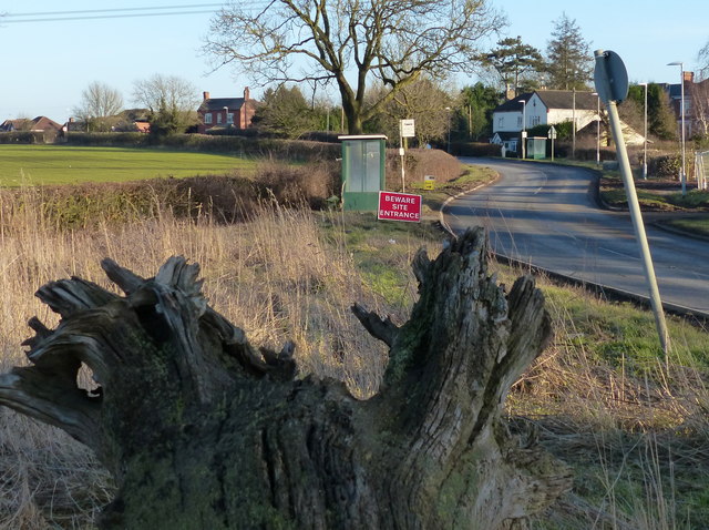
Desford Lane on the edge of Kirby Muxloe
 Map © Crown Copyright")
TIP: Click the map for more Large scale mapping
- Grid Square
- SK5004, 17 images (more nearby 🔍)
- Photographer
- Mat Fascione (more nearby)
- Date Taken
- Sunday, 8 February, 2015 (more nearby)
- Submitted
- Sunday, 15 February, 2015
- Subject Location
-
OSGB36:
 SK 509 045 [100m precision]
WGS84: 52:38.1679N 1:14.8875W - Camera Location
-
OSGB36: SK 508 045
- View Direction
- East-southeast (about 112 degrees)