2015
NO4228 : A street junction in Newport-on-Tay
taken 9 years ago, near to Newport-on-Tay, Fife, Scotland
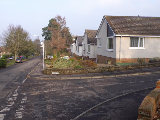
A street junction in Newport-on-Tay
Access to Whinfield Place, off Norwood.
 Map © Crown Copyright")
TIP: Click the map for more Large scale mapping
- Grid Square
- NO4228, 157 images (more nearby 🔍)
- Photographer
- Stanley Howe (more nearby)
- Date Taken
- Sunday, 15 February, 2015 (more nearby)
- Submitted
- Monday, 16 February, 2015
- Subject Location
-
OSGB36:
 NO 4248 2823 [10m precision]
WGS84: 56:26.5634N 2:56.0732W - Camera Location
-
OSGB36: NO 4247 2821
- View Direction
- Northeast (about 45 degrees)