2015
SE0722 : Moor End Lane to the west of Pickwood Lane
taken 9 years ago, near to Sowerby Bridge, Calderdale, England
This is 1 of 3 images, with title starting with Moor End Lane in this square
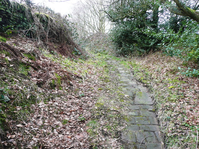
Moor End Lane to the west of Pickwood Lane
This part of the lane is an adopted highway, but is only usable as a footpath and bridleway.
 Map © Crown Copyright")
TIP: Click the map for more Large scale mapping
- Grid Square
- SE0722, 247 images (more nearby 🔍)
- Photographer
- Humphrey Bolton (more nearby)
- Date Taken
- Tuesday, 10 February, 2015 (more nearby)
- Submitted
- Wednesday, 18 February, 2015
- Subject Location
-
OSGB36:
 SE 0707 2272 [10m precision]
WGS84: 53:42.0521N 1:53.6634W - Camera Location
-
OSGB36: SE 0707 2272
- View Direction
- West-northwest (about 292 degrees)