2015
SU8262 : Mill Lane
taken 9 years ago, near to Yateley, Hampshire, England
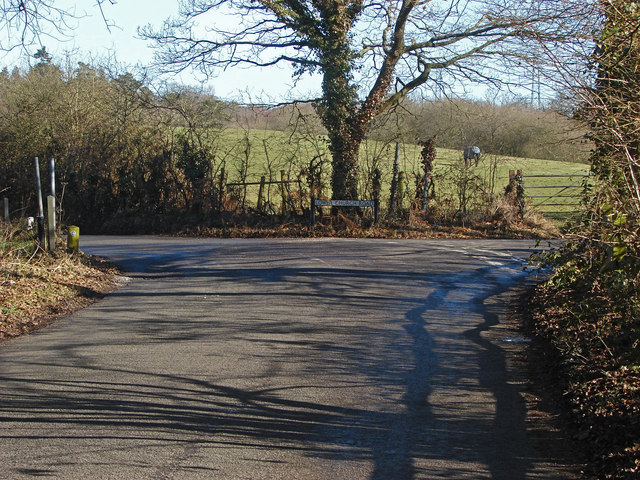
Mill Lane
Looking north along Mill Lane with the junction of Lower Church Road on the right.
 Map © Crown Copyright")
TIP: Click the map for more Large scale mapping
- Grid Square
- SU8262, 36 images (more nearby 🔍)
- Photographer
- Alan Hunt (more nearby)
- Date Taken
- Tuesday, 17 February, 2015 (more nearby)
- Submitted
- Friday, 20 February, 2015
- Subject Location
-
OSGB36:
 SU 8214 6206 [10m precision]
WGS84: 51:21.1014N 0:49.3123W - Camera Location
-
OSGB36: SU 8211 6204
- View Direction
- Northeast (about 45 degrees)