2015
SK7062 : Bridleway to Kneesall
taken 9 years ago, near to Kersall, Nottinghamshire, England
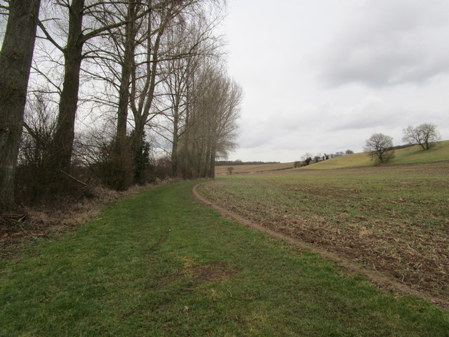
Bridleway to Kneesall
 Map © Crown Copyright")
TIP: Click the map for more Large scale mapping
- Grid Square
- SK7062, 16 images (more nearby 🔍)
- Photographer
- Jonathan Thacker (more nearby)
- Date Taken
- Friday, 20 February, 2015 (more nearby)
- Submitted
- Friday, 20 February, 2015
- Subject Location
-
OSGB36:
 SK 7048 6265 [10m precision]
WGS84: 53:9.3796N 0:56.8469W - Camera Location
-
OSGB36: SK 7040 6253
- View Direction
- Northeast (about 45 degrees)