2015
SP4997 : Thurlaston Brook near Watery Gate Lane
taken 9 years ago, near to Thurlaston, Leicestershire, England
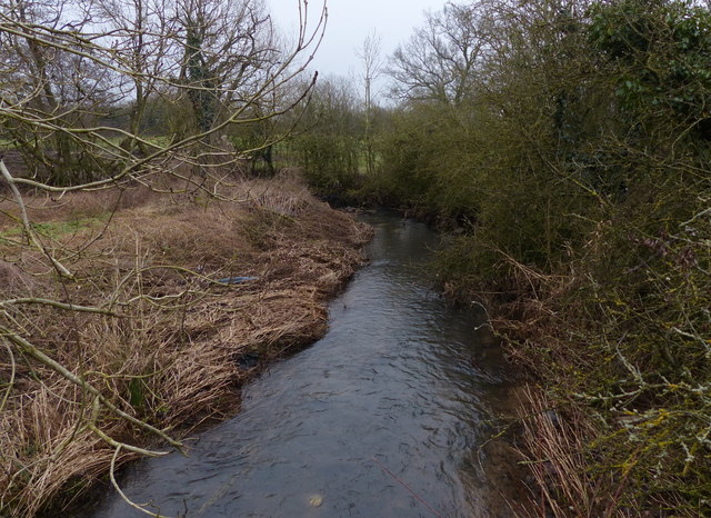
Thurlaston Brook near Watery Gate Lane
 Map © Crown Copyright")
TIP: Click the map for more Large scale mapping
- Grid Square
- SP4997, 36 images (more nearby 🔍)
- Photographer
- Mat Fascione (more nearby)
- Date Taken
- Sunday, 15 February, 2015 (more nearby)
- Submitted
- Friday, 20 February, 2015
- Subject Location
-
OSGB36:
 SP 495 976 [100m precision]
WGS84: 52:34.4654N 1:16.2523W - Camera Location
-
OSGB36: SP 494 976
- View Direction
- Southeast (about 135 degrees)