2015
SU8261 : Lower Church Road
taken 9 years ago, near to Yateley, Hampshire, England
This is 1 of 2 images, with title Lower Church Road in this square
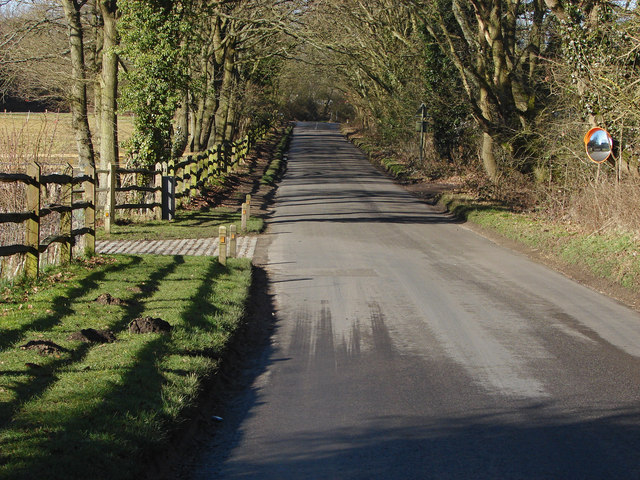
Lower Church Road
The straight road running northwest from Sandhurst High Street to Mill Lane.
 Map © Crown Copyright")
TIP: Click the map for more Large scale mapping
- Grid Square
- SU8261, 44 images (more nearby 🔍)
- Photographer
- Alan Hunt (more nearby)
- Date Taken
- Tuesday, 17 February, 2015 (more nearby)
- Submitted
- Saturday, 21 February, 2015
- Subject Location
-
OSGB36:
 SU 8235 6195 [10m precision]
WGS84: 51:21.0403N 0:49.1329W - Camera Location
-
OSGB36: SU 8238 6194
- View Direction
- West-northwest (about 292 degrees)