2015
SD1097 : Muncaster Tarn
taken 9 years ago, near to Ravenglass, Cumbria, England
This is 1 of 14 images, with title Muncaster Tarn in this square
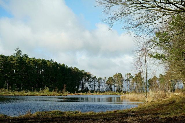
Muncaster Tarn
Seen from close to the junction of the paths to Muncaster Fell and the Eskdale Valley.
 Map © Crown Copyright")
TIP: Click the map for more Large scale mapping
- Grid Square
- SD1097, 46 images (more nearby 🔍)
- Photographer
- Peter Trimming (more nearby)
- Date Taken
- Monday, 16 February, 2015 (more nearby)
- Submitted
- Saturday, 21 February, 2015
- Subject Location
-
OSGB36:
 SD 1061 9767 [10m precision]
WGS84: 54:22.0005N 3:22.6396W - Camera Location
-
OSGB36: SD 1063 9763
- View Direction
- North-northwest (about 337 degrees)