2007
NX6997 : Fingland Burn, the Snab behind
taken 17 years ago, near to Benbuie, Dumfries And Galloway, Scotland
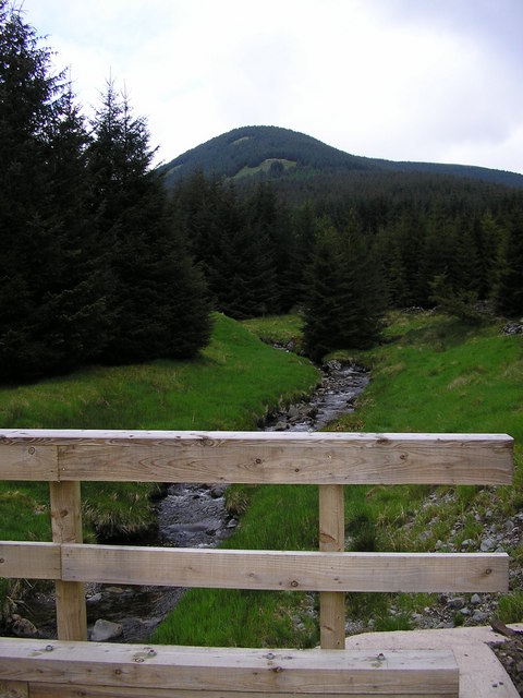
Fingland Burn, the Snab behind
This was taken from a bridge on a new forestry road near Cairnhead. The hill behind is The Snab.
 Map © Crown Copyright")
TIP: Click the map for more Large scale mapping
- Grid Square
- NX6997, 7 images (more nearby 🔍)
- Photographer
- Sue King-Smith (more nearby)
- Date Taken
- Sunday, 13 May, 2007 (more nearby)
- Submitted
- Thursday, 17 May, 2007
- Subject Location
-
OSGB36:
 NX 694 977 [100m precision]
WGS84: 55:15.3676N 4:3.3637W - Camera Location
-
OSGB36: NX 694 973
- View Direction
- NORTH (about 0 degrees)